

E-Books → Geospatial Information Handbook for Water Resources and Watershed Management, Volume III Advanced Applications and Case Studies
Published by: voska89 on 17-11-2022, 06:56 |  0
0
English | 2022 | ISBN: 978-1032006550 | 265 pages | True PDF | 14.33 MB
Volume III of Geospatial Information Handbook for Water Resources and Watershed Management discusses water and watershed issues such as water quality, evapotranspiration, water resource management, and ecological services.
Featured is a two-stage ditch and river geomorphology case study section with related water geospatial applications, including historical image analyses of floodplains and channels and resulting change in river geomorphology through erosion and transport and influence on dependent vegetation communities.
E-Books → Geospatial Information Handbook for Water Resources and Watershed Management, Volume II Methods and Modelling
Published by: voska89 on 17-11-2022, 06:55 |  0
0
English | 2022 | ISBN: 978-1032006499 | 277 pages | True PDF EPUB | 24.88 MB
Volume II of Geospatial Information Handbook for Water Resources and Watershed Management discusses Geospatial Technology (GT) approaches using integrated modeling as applied to advanced water resource assessments. Features include multiple date land cover analyses as change in land cover influences water quality, model sensitivity analyses of DEM resolution and influences on modeling water characteristics like Manning's n , development of seabed cover classification and sensitivity, and forecasting urban growth over time with climate vulnerability impacts on water. A detailed case study presents a range of water quality issues, all effectively demonstrating GT inputs to water quality studies from headwaters to receiving estuarine waters. Also analyzed are the comparison of evapotranspiration simulation performance by APEX model in dryland and irrigated cropping systems and perspectives on the future of transient storage modeling.
Captures advanced technologies and applications for implementation with models to address a broad spectrum of water issues
E-Books → Geospatial Information Handbook for Water Resources and Watershed Management, Volume I Fundamentals and Analyses
Published by: voska89 on 17-11-2022, 06:55 |  0
0
English | 2022 | ISBN: 1032006366 | 237 pages | True PDF | 24.6 MB
Volume I of Geospatial Information Handbook for Water Resources and Watershed Management discusses fundamental characteristics, measurements, and analyses of water features and watersheds including lakes and reservoirs, rivers and streams, and coasts and estuaries. It presents contemporary knowledge on Geospatial Technology (GT)–supported functional analyses of water runoff, storage and balance, flooding and floodplains, water quality, soils and moisture, climate vulnerabilities, and ecosystem services.
Captures advanced Geospatial Technologies (GTs) addressing a wide range of water issues
E-Books → Case Studies in Geospatial Applications to Groundwater Resources
Published by: voska89 on 17-11-2022, 05:49 |  0
0
English | 2022 | ISBN: 0323999638 | 434 pages | True PDF EPUB | 105.55 MB
Case Studies in Geospatial Applications to Groundwater Resources provides thorough the most up-to-date techniques in GIS and geostatistics as they relate to groundwater, through detailed case studies that prove real-world applications of remote sensing applications to this subject. Groundwater is the primary source of fresh water in many parts of the world, while come regions are becoming overly dependent on it, consuming groundwater faster than it is naturally replenished and causing water tables to decline unremittingly. India is the largest user of groundwater in the world followed by China and the USA, with developing countries using groundwater at an unsustainable rate. Systematic planning of groundwater usage using modern techniques is essential for the proper utilization, management and modeling of this precious but shrinking natural resource. With the advent of powerful and highspeed personal computers, efficient techniques for water management have evolved, of which remote sensing, GIS (Geographic Information Systems), GPS (Global Positioning Systems) and Geostatistical techniques are of great significance. This book advances the scientific understanding, development, and application of geospatial technologies related to water resource management.
Case Studies in Geospatial Applications to Groundwater Resources is a valuable reference for researchers and postgraduate students in Earth and Environmental Sciences, especially GIS, agriculture, hydrology, natural resources, and soil science, who need to be able to apply the latest technologies in groundwater research in a practical manner.
E-Books → McClain B Python for Geospatial Data Analysis 2022 Fix
Published by: Emperor2011 on 21-10-2022, 11:18 |  0
0

McClain B Python for Geospatial Data Analysis 2022 Fix | 117.17 MB
English | 484 Pages
Title: Python for Geospatial Data Analysis
Author: Bonny P. McClain
Year: 2022
E-Books → Groundwater and Society Applications of Geospatial Technology
Published by: voska89 on 23-09-2022, 23:18 |  0
0
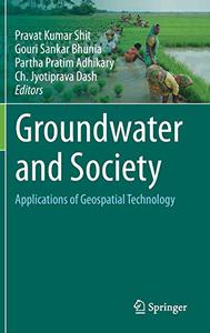
Groundwater and Society: Applications of Geospatial Technology by Pravat Kumar Shit
English | EPUB | 2021 | 535 Pages | ISBN : 303064135X | 154.5 MB
This volume advances the scientific understanding, development, and application of geospatial technologies related to groundwater resource management, mapping, monitoring, and modelling using up-to-date remote sensing and GIS techniques.
E-Books → Geostatistics and Geospatial Technologies for Groundwater Resources in India
Published by: voska89 on 23-09-2022, 23:12 |  0
0
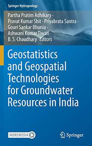
Geostatistics and Geospatial Technologies for Groundwater Resources in India by Partha Pratim Adhikary
English | EPUB | 2021 | 609 Pages | ISBN : 3030623963 | 179.8 MB
This book offers essential information on geospatial technologies for water resource management and highlights the latest GIS and geostatistics techniques as they relate to groundwater.
E-Books → Geospatial Technologies in Land Resources Mapping, Monitoring and Management
Published by: voska89 on 24-08-2022, 03:05 |  0
0
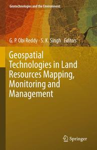
Geospatial Technologies in Land Resources Mapping, Monitoring and Management by G. P. Obi Reddy
English | EPUB | 2018 | 647 Pages | ISBN : 3319787101 | 126.5 MB
This book offers an overview of geospatial technologies in land resources mapping, monitoring and management. It consists of four main sections: geospatial technologies - principles and applications; geospatial technologies in land resources mapping; geospatial technologies in land resources monitoring; and geospatial technologies in land resources management. Each part is divided into detailed chapters that include illustrations and tables. The authors, from leading institutes, such as the ICAR-NBSS&LUP, IIT-B, NRSC, ICRISAT, share their experiences and offer case studies to provide advanced insights into the field. It is a valuable resource for the scientific and the teaching community, extension scientists at research institutes and agricultural universities/colleges as well as those involved in planning and managing land resources for sustainable agriculture and livelihood security.
E-Books → Patterns in Past Settlements Geospatial Analysis of Imprints of Cultural Heritage on Landscapes
Published by: voska89 on 15-08-2022, 06:03 |  0
0
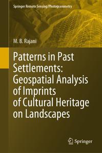
Patterns in Past Settlements: Geospatial Analysis of Imprints of Cultural Heritage on Landscapes by M.B. Rajani
English | EPUB | 2021 | 184 Pages | ISBN : 9811574650 | 201.6 MB
This book is an introduction to a new branch of archaeology that scrutinises landscapes to find evidence of past human activity. Such evidence can be hard to detect at ground-level, but may be visible in remote sensing (RS) imagery from aerial platforms and satellites.
E-Books → Python Geospatial Analysis Essentials
Published by: voska89 on 24-07-2022, 22:55 |  0
0
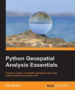
Erik Westra, "Python Geospatial Analysis Essentials"
English | 2015 | pages: 195 | ISBN: 1782174516 | PDF | 5,2 mb
Process, analyze, and display geospatial data using Python libraries and related tools


