

Video Training → Udemy - GIS for Drone Pilots using QGIS (w/ Airspace Data Template)
Published by: voska89 on 16-01-2022, 18:17 |  0
0
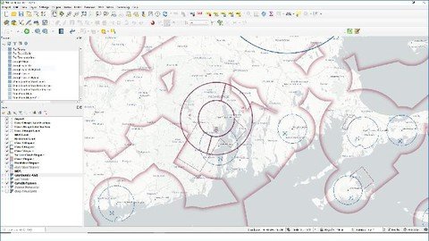
MP4 | Video: h264, 1280x720 | Audio: AAC, 44.1 KHz
Language: English | Size: 2.65 GB | Duration: 3h 26m
Prepare your drone flight, analyze the resulting data, and prepare professional reports using QGIS
Video Training → Building Web GIS Apps with C# ASP.NET CORE MVC and Leaflet ✮
Published by: voska89 on 1-01-2022, 02:19 |  0
0

MP4 | Video: h264, 1280x720 | Audio: AAC, 44.1 KHz, 2 Ch
Genre: eLearning | Language: English + srt | Duration: 30 lectures (2h 3m) | Size: 1.32 GB
Learn to Build Web GIS Applications with C# and ASP.NET CORE
E-Books → Discovering GIS and ArcGIS, 3rd Edition (Macmillan Learning)
Published by: voska89 on 29-12-2021, 23:25 |  0
0
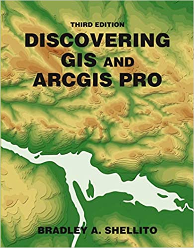
English | 2021 | ISBN: 1319382800 | 592 pages | True EPUB | 271.25 MB
Shellito's Discovering GIS and ArcGIS Pro provides students with hands-on work with GIS software, while explaining the "how" and "why" behind each application. Software changes quickly―the theory has a longer shelf life. The goal of Discovering GIS and ArcGIS Pro is to teach students how to combine GIS concepts with ArcGIS Pro software skills, preparing students for successful careers in the real world. Each chapter focuses on using a variety of ArcGIS tools in a real-world context. At the start of each chapter, a scenario puts the student in a particular role with a number of tasks to accomplish.
E-Books → Dealing with Disasters GIS for Emergency Management (Applying GIS Book 2)
Published by: voska89 on 13-12-2021, 10:38 |  0
0

English | 2021 | ISBN: 9781589486409 | 183 pages | True EPUB | 9.16 MB
Discover a modern approach to understanding threats and hazards that are more complex, costly, and devastating than ever before.
Video Training → Udemy - Building Web GIS Apps with Java Spring Boot MVC and Leaflet
Published by: voska89 on 9-12-2021, 00:17 |  0
0

MP4 | Video: h264, 1280x720 | Audio: AAC, 44.1 KHz, 2 Ch
Genre: eLearning | Language: English + srt | Duration: 29 lectures (3h 11m) | Size: 2.1 GB
Learn to Build Web GIS Applications with Java
Video Training → Linkedin Learning - Foundations of Geographic Information Systems GIS
Published by: Minhchick on 7-12-2021, 05:43 |  0
0
Linkedin Learning - Foundations of Geographic Information Systems GIS-XQZT
English | Size: 732.52 MB
Category: Tutorial
Learn the basics of Geographic Information Systems (GIS), how to think about and approach problems spatially, and how GIS can be applied to your role at work
E-Books → Dealing with Disasters - GIS for Emergency Management (Applying GIS Book 2)
Published by: ad-team on 27-11-2021, 19:54 |  0
0

Dealing with Disasters - GIS for Emergency Management (Applying GIS Book 2)
epub | 9.16 MB | English | Isbn: B08Q61WBC7 | Author: Ryan Lanclos, Matt Artz | Year: 2021
Video Training → Udemy - Basic of Desktop GIS & Web GIS All Types of GIS Software
Published by: voska89 on 17-11-2021, 16:20 |  0
0

Last Update: 9/2021
Duration: 2h42m | Video: .MP4, 1280x720 30 fps | Audio: AAC, 44.1 kHz, 2ch | Size: 1.68 GB
Genre: eLearning | Language: English
Video Training → Udemy - Applied GIS in QGIS in 2021 - Project-based Spatial Analysis
Published by: voska89 on 17-11-2021, 16:16 |  0
0

MP4 | Video: h264, 1280x720 | Audio: AAC, 44.1 KHz, 2 Ch
Genre: eLearning | Language: English + srt | Duration: 34 lectures (3h 9m) | Size: 1.72 GB
GIS analysis in latest QGIS version: From Beginner to Expert Vector & Spatial analysis in 2021
Video Training → Web GIS and Web Mapping - Basics of All Open Source Platforms
Published by: ad-team on 22-10-2021, 21:29 |  0
0


